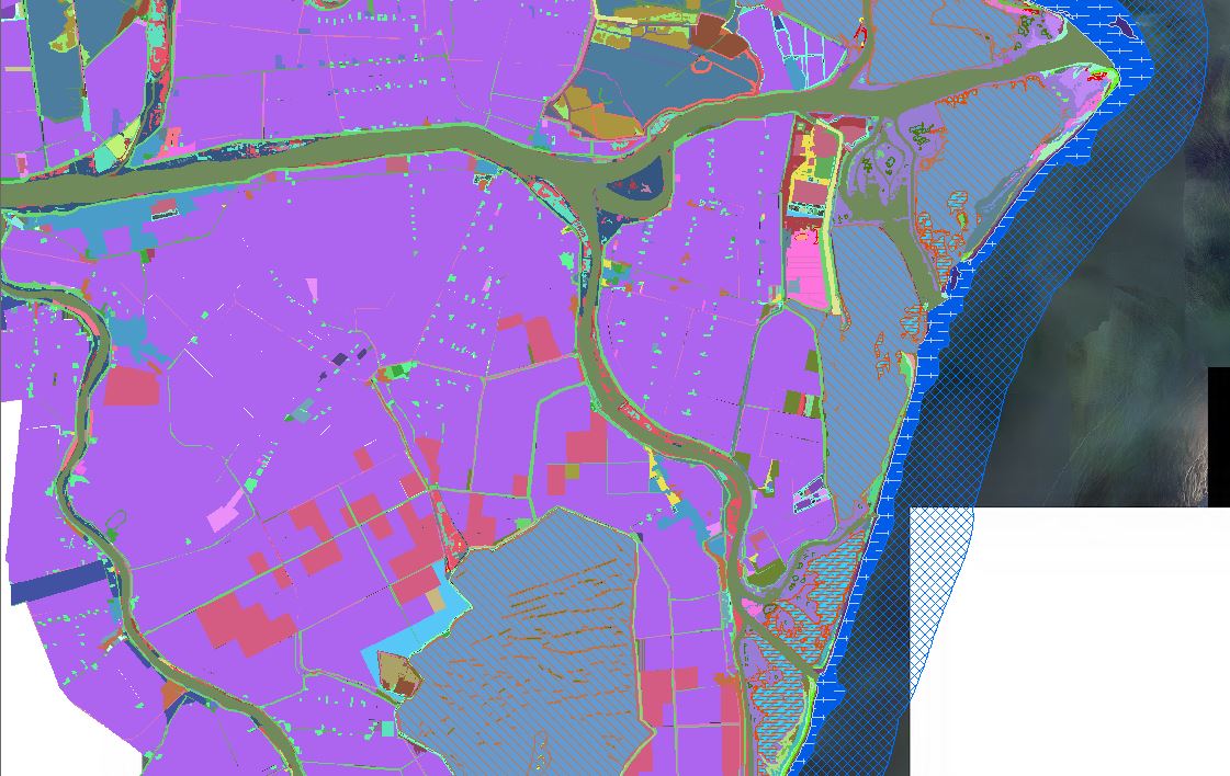
Ipros uses and develops GIS tools for support of modeling studies and of projects and plans regarding water, environment and land use.
The Company has developed over the years a specific expertise in the use of geographic information systems (GIS) primarily for the purpose of processing of cartographic, topographic and elevation data needed to set up the computational domain for hydraulic modeling.
Today GIS data are indispensable component of most engineering assessment in environmental and land use projects , mainly because they make possible the superposition of information layers from different databases and querying of the data. The geographic databases use shared formats that enable data exchange between the different actors involved in the design process. The recent introduction of interoperability standards (WMS / WFS) allows the use and publication of geographic data in the public domain without losing the data ownership, thus avoiding the duplication of data and mantaining their associated documentation (metadata).
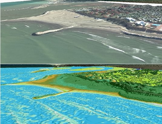
Currently, Ipros uses, develops and customizes GIS projects to support most of its project activities through desktop applications that primarily use ESRI software (ArcGIS 9.3) and Autodesk (AutoCAD Map). The company has particular expertise in the development of complex geographic data including point clouds (Lidar data), raster grid, 3D geographical data. It has also developed specific applications for GIS mapping and publication of the results of hydraulic models simulation.
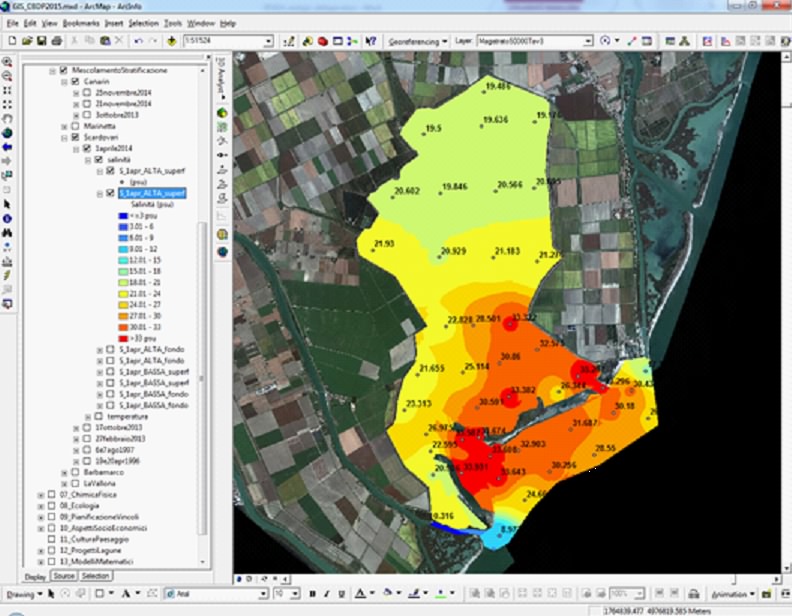
Ipros also develops WebGis applications. Recently, on behalf of the Consortium of Reclamation of Po river Delta (Consorzio di Bonifica Delta del Po), Ipros developed a Web portal and a WebGis platform aimed at web publication of environmental data of the lagoons of the Po river Delta.


